File No.:
Battle Study # 25
Title:
Location of the Battle of
Otiesburg
Investigation
made at:
Sonsche Forest, Son, Municipality of
Son & Breugel, The Netherlands
(51�30'50.12"N 5�28'56,54"E)
Period Covered:
September 17th, 1944 -
January 12th, 2015
Date:
JAN 2015
Case
Classification:
Location of Historic Events
Status
of Case: Case
Closed
|
|
REASON FOR INVESTIGATION:
On pages 410 and 411 of the
December 2001 PhD thesis titled
"The MARKET GARDEN Campaign by
Roger Cirillo,: Allied
Operational Command in Northwest
Europe, 1944" on the Airborne
invasion of the Netherlands, we
read the following passages:
"[...]
Taylor's plan concentrated his
division for the drop, but it
placed no unit near its primary
objective for a coup de main.
The Zon bridge, the first of the
southern bridges, was about 1 to
1.2 miles straight-line distance
from the edge of Drop Zone B and
was separated from it by a patch
of the Zonche woods and the
small clump of houses at
Otiesburg. The series of small
bridges at the southern end of
Eindhoven lay about eight miles
from the Zon bridge.
Valkenswaard was six miles south
of Eindhoven and seven miles
north of the 30th Corps start
line for Club Route
733.
[...]
733 All
terrain descriptions are based
on 1944 maps and photos. The
original road has been
overbuilt, Valkenswaard is now
essentially a suburb of
Eindhoven, the southern bridges
are within the town, and
Otiesburg is now a small
village."
Dr. Roger Cirillo's thesis has
since become a document that
needs to be studied in order to
understand the details of the
operation.
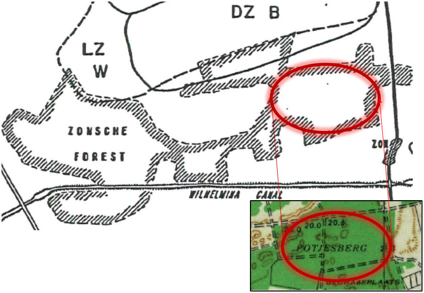
SYNOPSIS:
We were not familiar with any
residential area near Son (Zon)
named Otiesburg.
We have studied "Figure 45" on
page 623 of your thesis, period
maps such as the Allied GSGS No.
2541 map of Holland 1: 100.000
's-Hertogenbosch and modern
online maps to find any
geographical reference to Otiesburg, but to no avail. The
question remained "Where (on
which map reference and / or on
which current GPS location) was
"Otiesburg" located in
connection to the objectives of
the US Army's 101st Airborne
Division in operation "Market
Garden" in 1944, or which
geographical reference in the
Netherlands was meant by it in
Cirillo's 2001 thesis?"
|
|
(click to enlarge)
 |
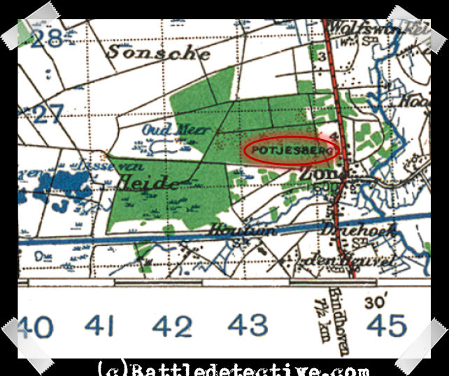
Answer from Dr. Roger Cirillo
Dr. Cirillo was happy to
answer this question and
submitted a scan of the portion
of the map sheet, "OIRSHOT
HOLLAND N5127-E517/5X13 1:
25,000" which was the source of
the location he referred to as
Otiesburg.
|
|
(click to enlarge)
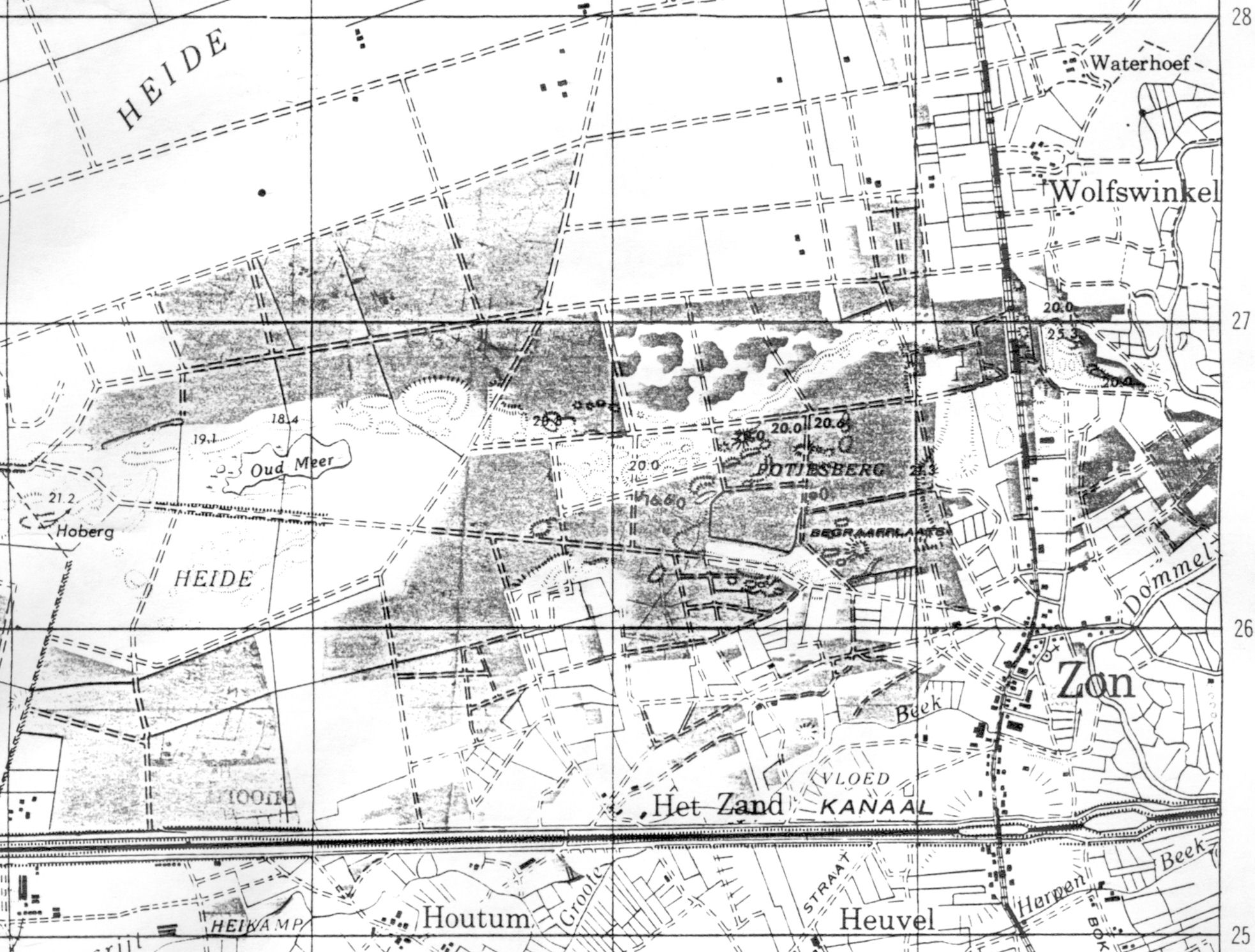 
1 Map section sent to us
by Dr. Cirillo
2 Same map section in full
color
 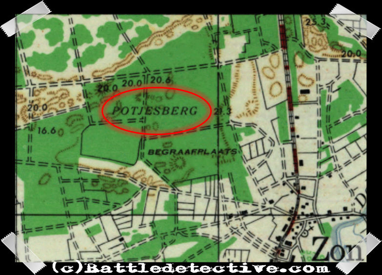
3 Detail in black & white
Xerox
4 Detail in full color |
|
Roger Cirillo also wrote: "I
noted on a different scale map
it is spelled differently,
apparently the map symbols
obliterated the P when the map
was enlarged. Thankyou for
pointing it out." |
|
 |
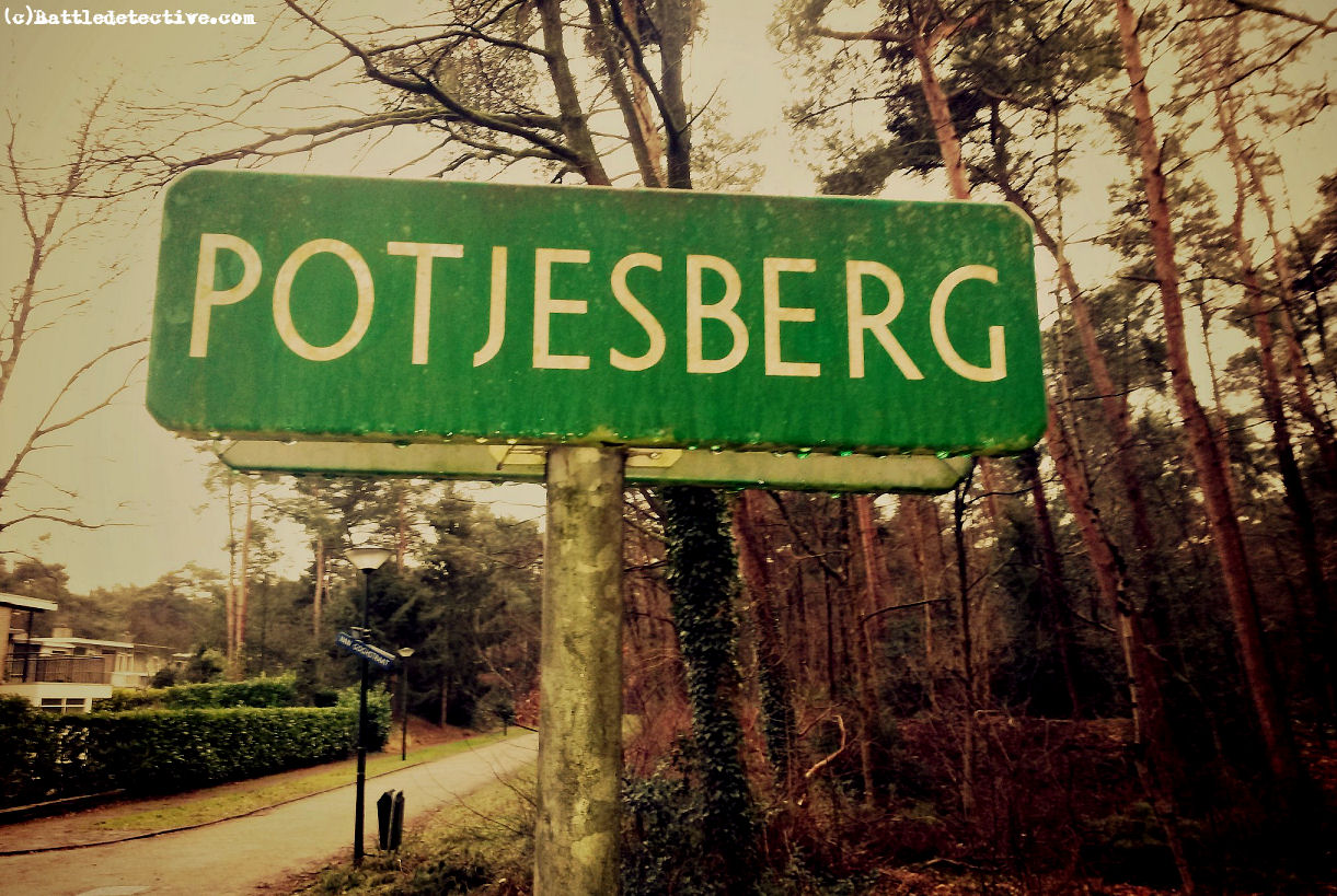
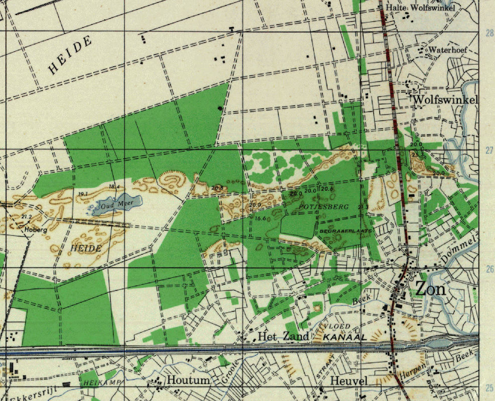
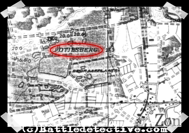
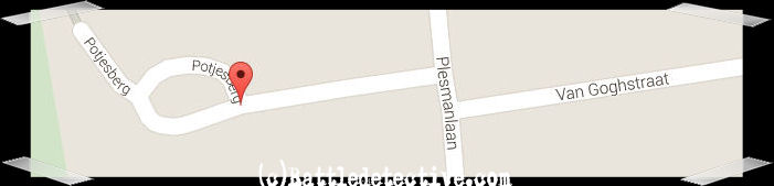
Mystery solved
Being familiar with the Dutch
language, we found out that the
location is actually called "Potjesberg"
(literally: Hill of Small Pots,
in Dutch) in the Zonsche Forest.
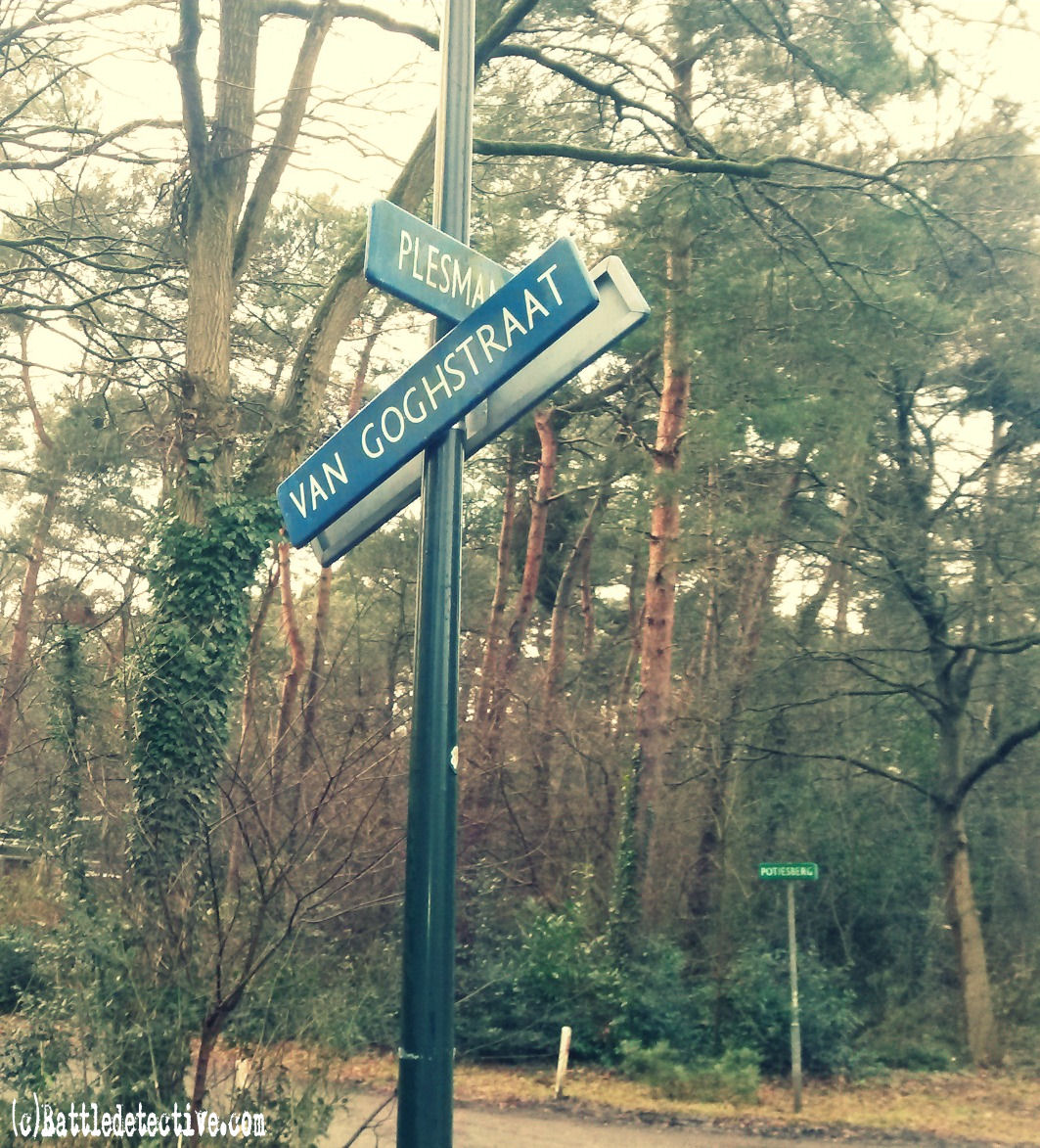
A wider area was apparently
named Potjesberg at the time the
map was made, but today it is
only a small cul-de-sac situated
at the West end of Van Gogh
Straat (a street named after the
famous Dutch painter) crossing
Plesman Straat (a street named
after a famous Dutch aviator)
with a few bungalows in the
suburb of Son named "De Gentiaan".
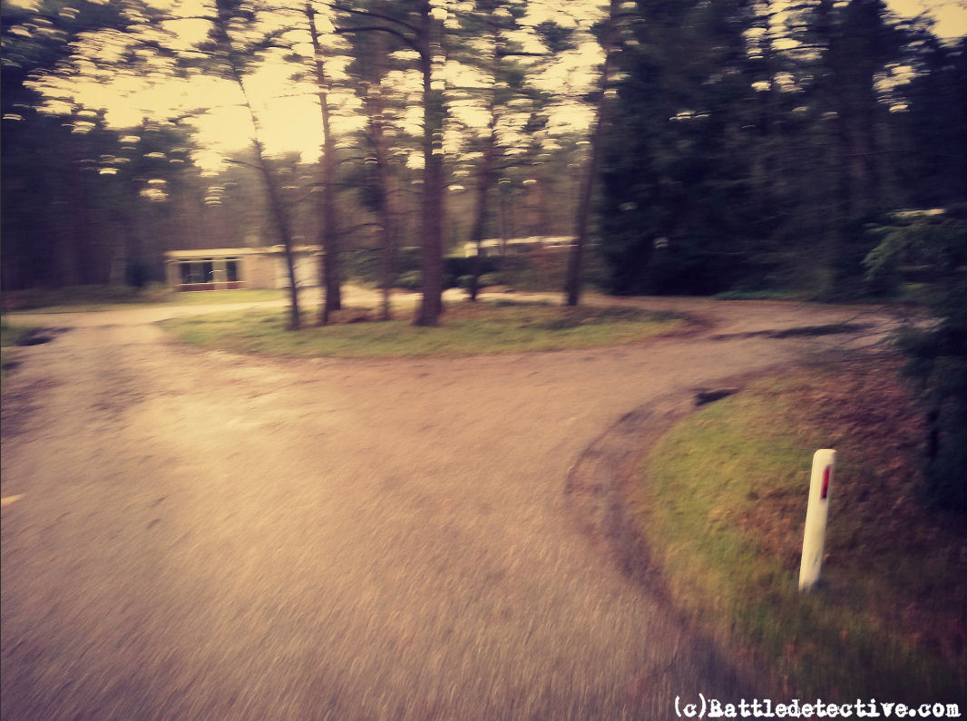
We went there and took some
photos. |
|
(click to enlarge)
  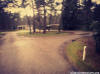
De Gentiaan suburb was
developed in the 1960's and
'70's and is larger in surface
that the town of Son proper. |
We find it very interesting how
names on maps end up in historic
literature.
Compare this with the Battle of
Waterloo which was actually only
named after the town where
British general the Duke of
Wellington had his Headquarters.
The actual battle took place
near Braine-l'Alleud.
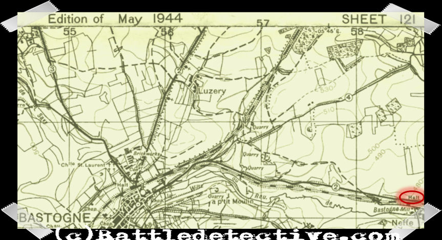
Or how Halte Station became a
known location in the defence of
Bastogne by the American 101st
Airborne Division during the
Battle of the Bulge; whereas
there were several "Haltes"
(stops in Flemish / Dutch) on
the map, along the railway line
into Bastogne.
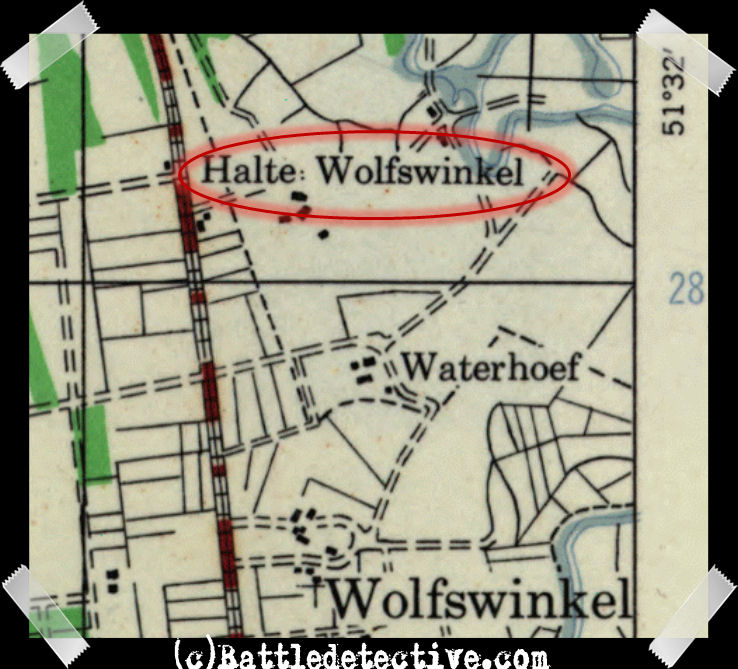
There is a "Halte Wolfswinkel"
in the Netherlands North of Son
near the Waterhoef Farm, where
the
initial cemetery of the 101st
Airborne Division was set up
from September 19th 1944 to May
30th, 1949. |
CONCLUSION:
Over the years, this agency has
solved several battlefield
mysteries by questioning,
sometimes seemingly trivial,
sections of large publications
on strategy and war history.
That is what we do best: to give
a well-educated critique on the
work of other historians. Dr.
Cirillo's thesis "The MARKET
GARDEN Campaign: Allied
Operational Command in Northwest
Europe, 1944" has entered the
mandatory reading list for
understanding Operation "Market
Garden" and the Battle of Arnhem
and we appreciate his work and
research necessary to create it.
We also appreciate Dr. Cirillo's
willingness to answer our
question about Otiesburg. It
kept a very mysterious "Battle
of Otiesburg" from finding its
way into the history books.
|
EXHIBITS:
Battle of Waterloo at Braine
l'Alleud, Belgium |
(click for enlargements)
1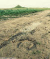 2 2 3 3 4 4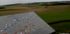 5 5 6 6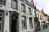
From left to right:
1&2:
The actual battlefield with Lion's
Mound Monument in the background
3&4: On top of the Lion's Mound with
reference to Braine l'Alleud
5: The town of Braine l'Alleud
proper
6: Wellington's HQ in the center of
Waterloo
|
|
"Halt Station" North East of
Bastogne, Belgium |
|
(click for enlargements)
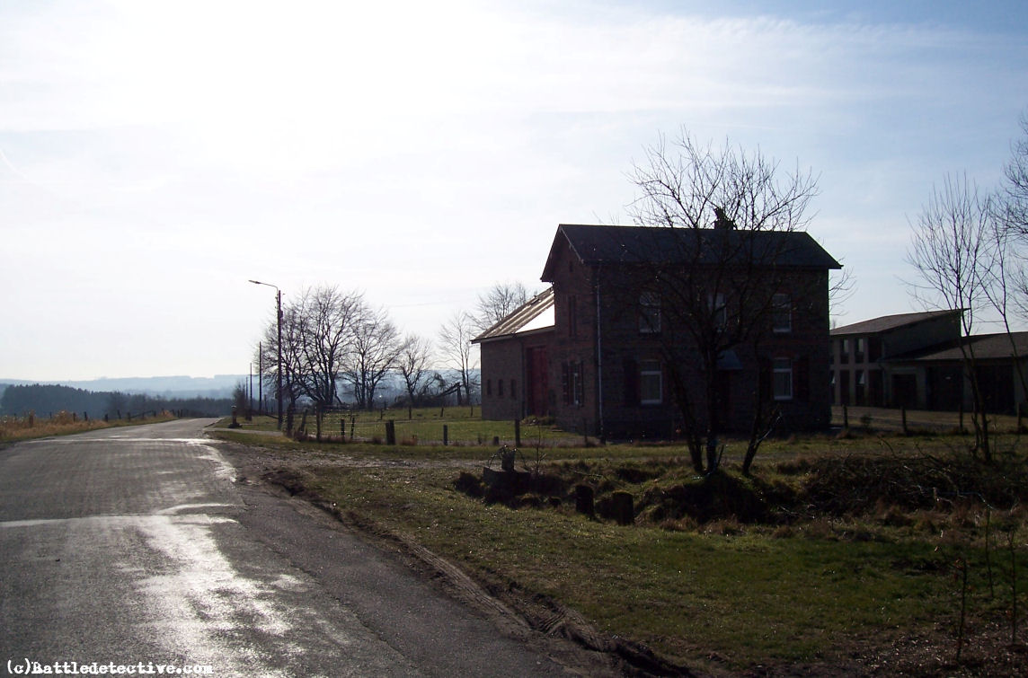
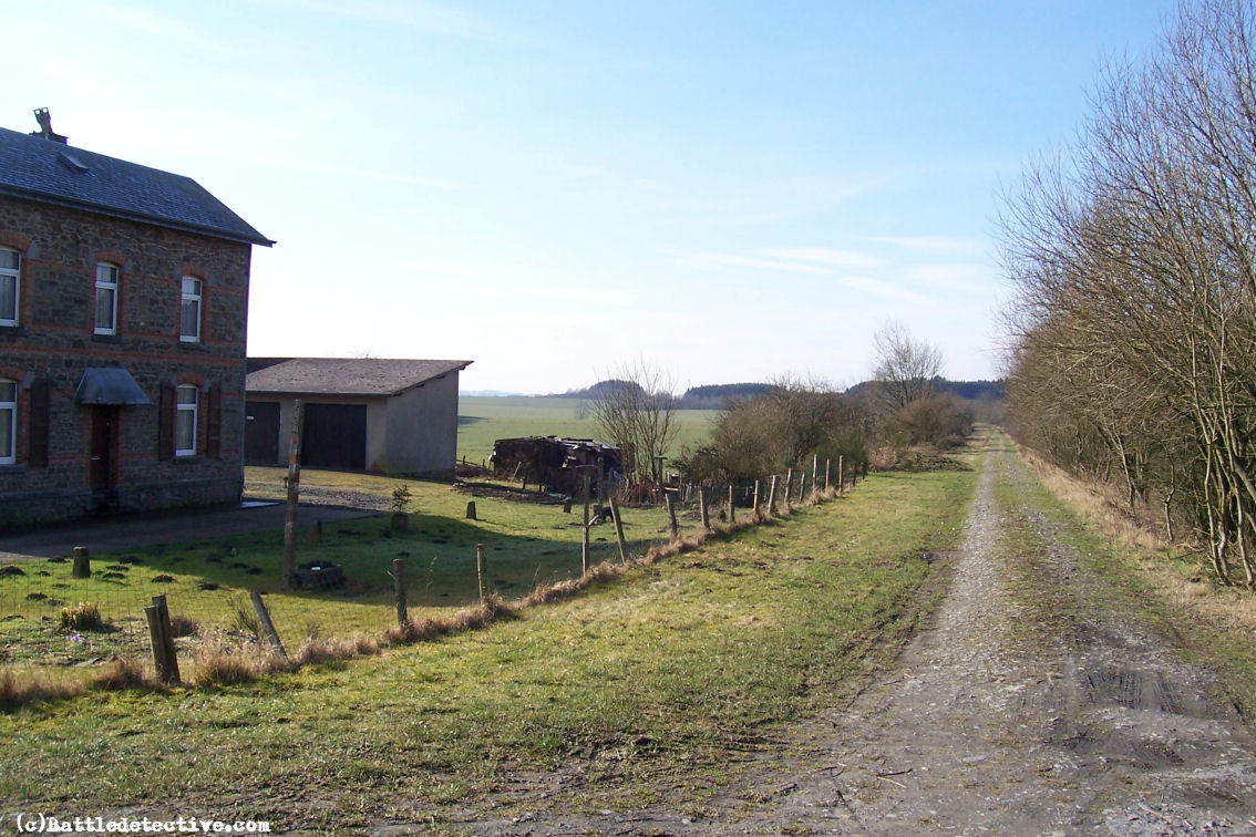
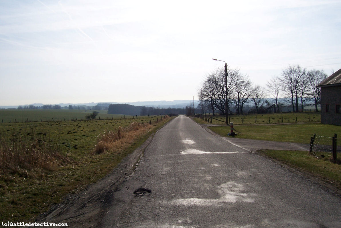
7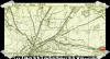 8 8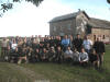 9 9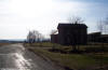 10 10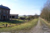 11 11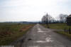 12 12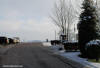
From left to right:
7:
Map reference to one of the 'haltes" along
the railway track
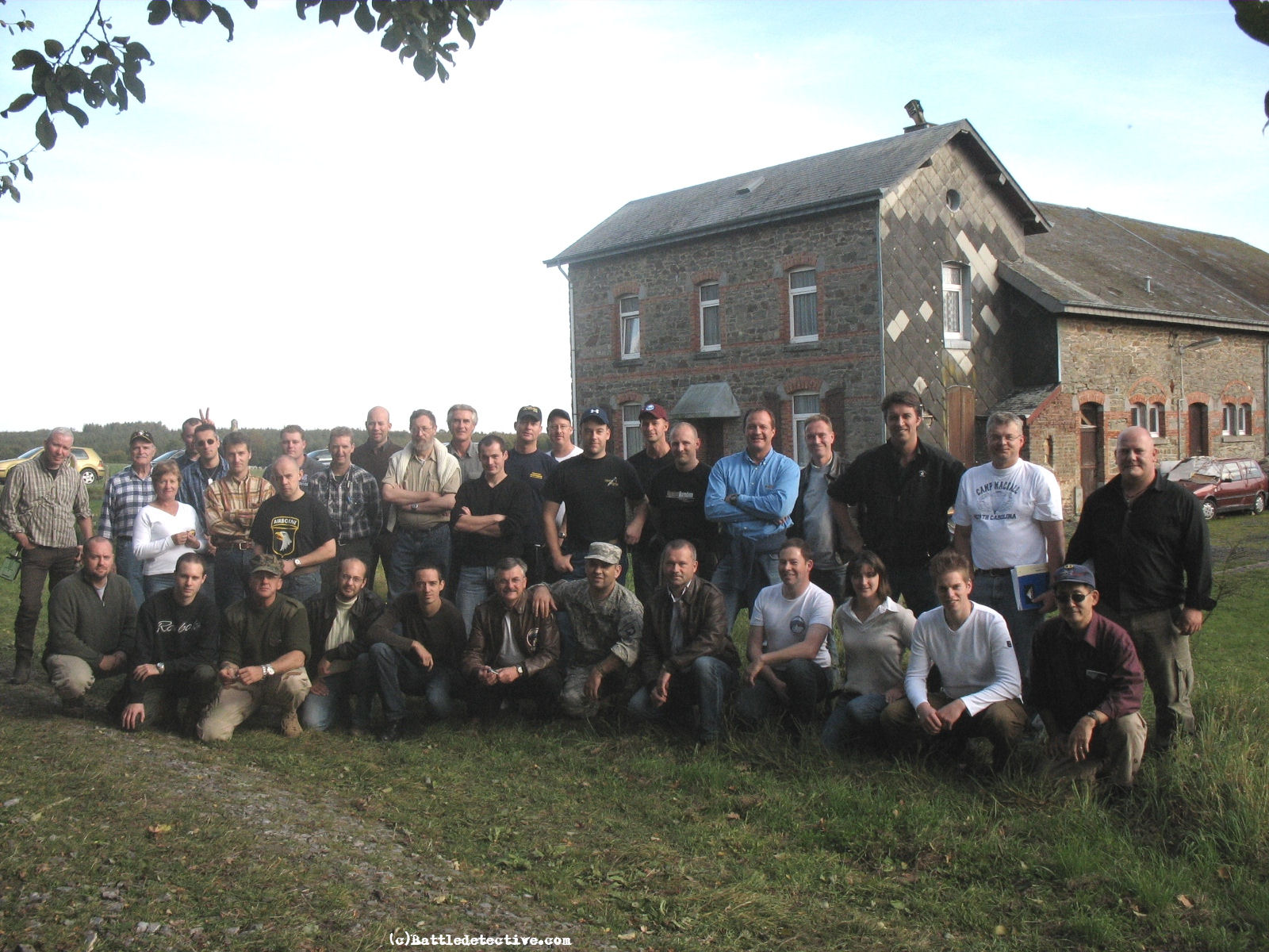
8: Mark Bando's 2007 EuropeanTrigger
Time Convention battlefield tour
group in front of Halt Station
9 -11: Halt Station from various
angles showing disbanded railroad
track
12: Halt Station and crossroads with
"E" Company / 506th Parachute
Infantry Regiment in right
foreground |
|
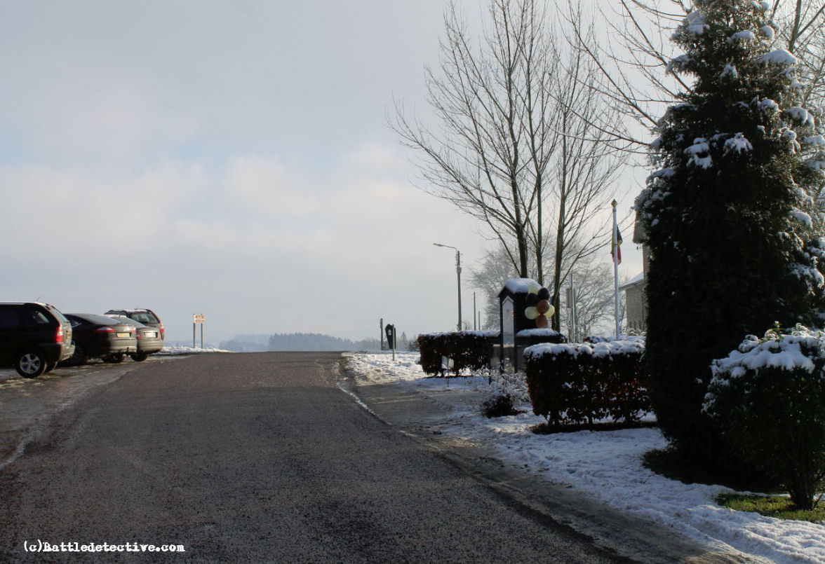
Halte Wolfswinkel, the
Netherlands |
|
(click for enlargements)
13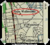 14 14 15 15
From left to right:
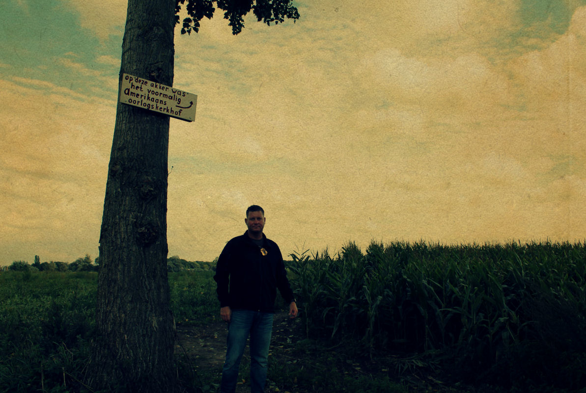
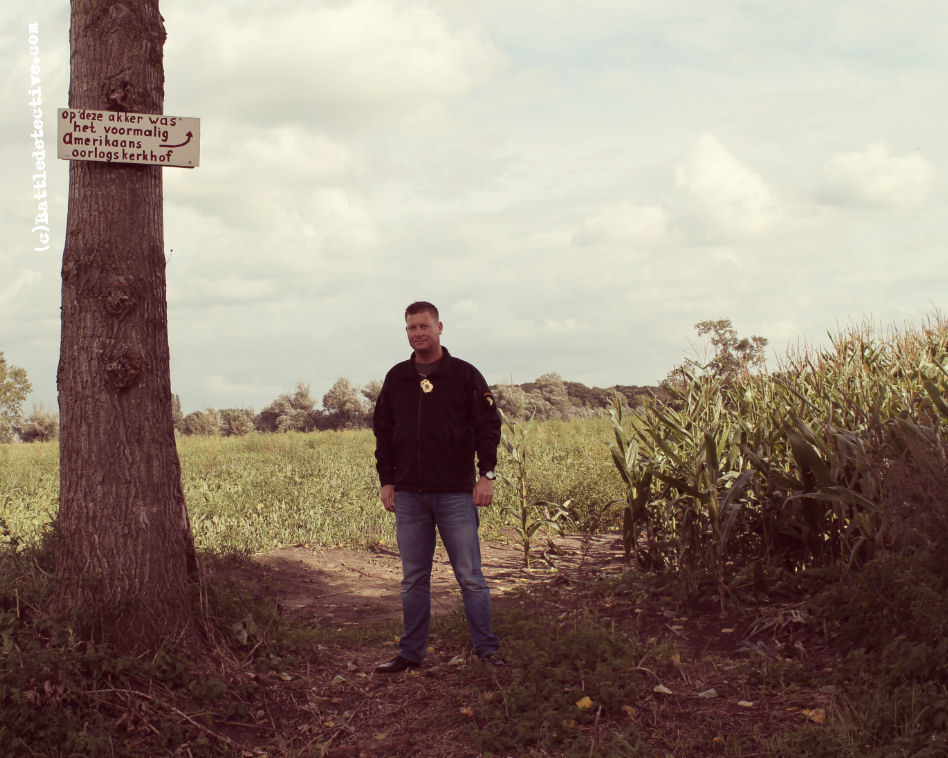
13: Map reference to the Halte
Wolfswinkel at Waterhoef Farm
14 - 15: hand painted signs point to
the location where the American
cemetery used to be |
|
Back to Battle Studies
 |
| |